
TRAILS
CHECK OUT THE MAP OF OUR TRAILS
You can view maps and more information about our trails by visiting the interactive map at
staythetrail.org/map.
Red Feather Lakes
Red Feather Lakes, CO
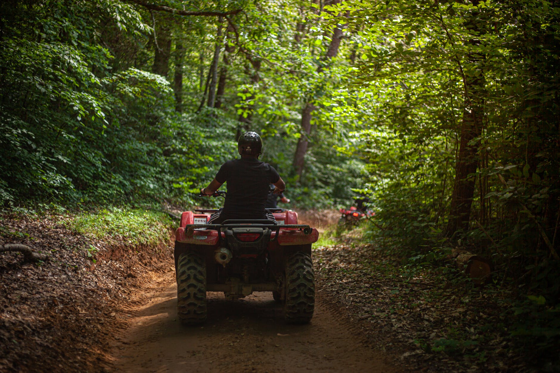
The area contains over 100 miles of double-track ATV trails and roads suitable for beginning to advanced riders. The area also contains 7 miles of single track trails open to motorcycles only. Deadman Road is a county road and is strictly off-limits to unlicensed, non-street-legal vehicles.
Red Feather Lakes
Red Feather Lakes, CO
The area contains over 100 miles of double-track ATV trails and roads suitable for beginning to advanced riders. The area also contains 7 miles of single track trails open to motorcycles only. Deadman Road is a county road and is strictly off-limits to unlicensed, non-street-legal vehicles.
storm mountain
Fort Collins, CO
Just outside of Drake, the trails leading up to Storm Mountain provide amazing views of the Roosevelt National Forest. Heading north then west from the trailhead provides a challenging climb to the top of Storm Mountain. Heading North then east offers some easier exploring opportunities.
Seven Mile
Fort Collins, CO
The Seven Mile trail starts simply enough but quickly turns into a wet, rocky road with numerous stream crossings and basketball-sized rocks. With slow, raceful maneuvering, this trail can be run in stock high clearance vehicles. If you're on an ATV or motorcycle, be prepared for a bumpy ride. Experience negotiating large rocks is essential.
Kelly Flats
Fort Collins, CO
Kelly Flats is notorious for Heart Attack Hill--an extremely steep and rocky climb near the beginning of the trail. Rollovers and unintentional dismounts are a real risk and the alternate route isn't much easier. Once past the hill or its alternate, the two-track road flattens out and provides for many scenic views.
Bunce School Road
Raymond, CO
This unique trail west of Longmont provides many different routes that can make for a full day. With great camping and rich history, interesting stops include the historic Bunce School building and even a plane crash from 1965. If you are looking for a bigger challenge, try the Ironclads route.
Pawnee National Grasslands
Nunn, CO
The Main Draw OHV Area, a sandy shallow canyon within Pawnee National Grassland, offers off-season riding close to Fort Collins and Greeley. The open floor of the canyon provides easy riding and exploring opportunities. Sand drifts within the canyon provide expert riding opportunities. Open annually from November 1 to April 9.
Old Flowers Rd
Masonville, CO
Old Flowers Road is a scenic route located close to Fort Collins. Old Flowers Road starts with an easy dirt road that winds through the foothills. A few muddy sections can be challenging when wet. The trail finishes on Pingree Park Road which leads back to Highway 14.
Switzerland Trail
Nederland, Ward, CO
This is a fantastic trail in Roosevelt National Forest. Mountain bikers, off-road vehicles, and hikers share the trail. It features beautiful views of the mountains along the way and plenty of gorgeous scenery. The area is home to various wildlife, including chipmunks, birds, and rabbits. In spring, the rolling hills are littered with colorful wildflowers. The trail begins from the Switzerland Trailhead off Gold Hills Road, where parking is available.
Old Flowers Rd
Masonville, CO
Old Flowers Road is a scenic route located close to Fort Collins. Old Flowers Road starts with an easy dirt road that winds through the foothills. A few muddy sections can be challenging when wet. The trail finishes on Pingree Park Road which leads back to Highway 14.
CHECK AVAILABILITY
We will get back to you as soon as possible.
Please try again later.